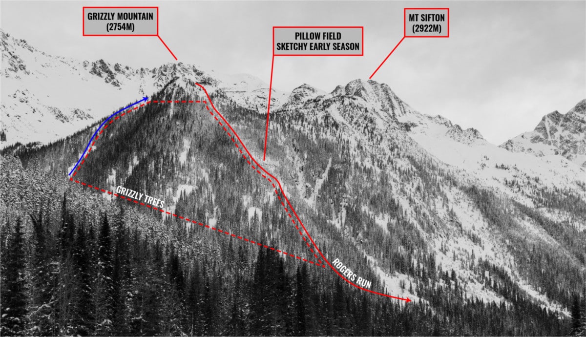
To be honest, I had no clue whether Rogers Run, located on the Grizzly Shoulder of Rogers Pass, would be skiable. Rogers Run and its neighbor, Puff Daddy, deliver a blend of incredible alpine and glade skiing. Being so close to the Rogers Pass Discovery Center and with an elevation gain of 850-900m, both are by far the most easily accessible routes. The best part is that you can scope the lines from the comfort of your heated vehicle, parked across the highway at the NRC lot. Our day started with high spirits just after sunrise and ended at sundown with a deep sense of relief after an hour of non-stop bushwhacking.
This route is located within a Winter Restricted Area (WRA) governed by the Winter Permit System. Please check the WRA status before travelling through it.
Related: Grizzly Couloir, Rogers Pass: 3-Day Couloir Marathon

Report from November 20, 2020
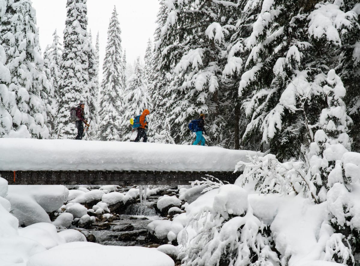
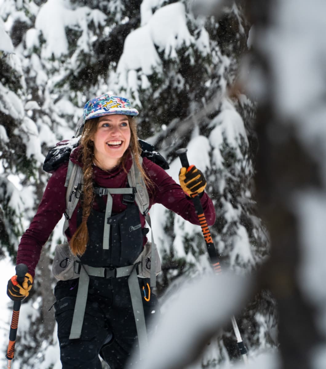
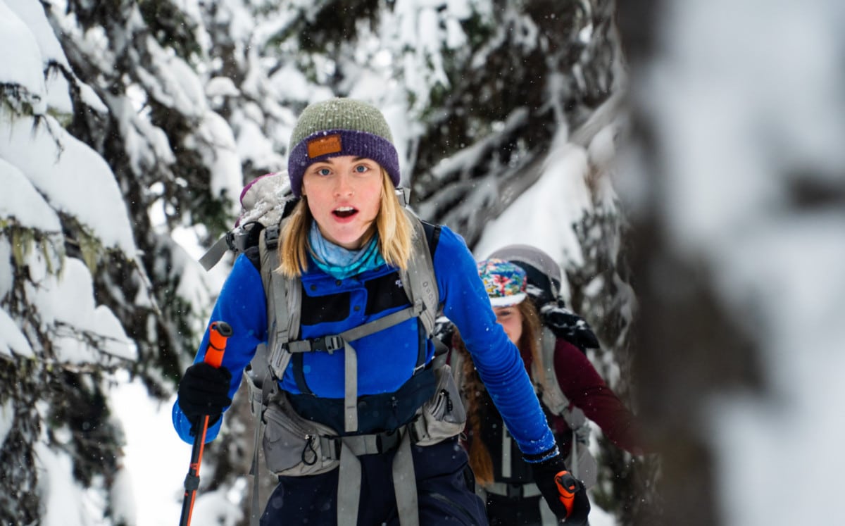
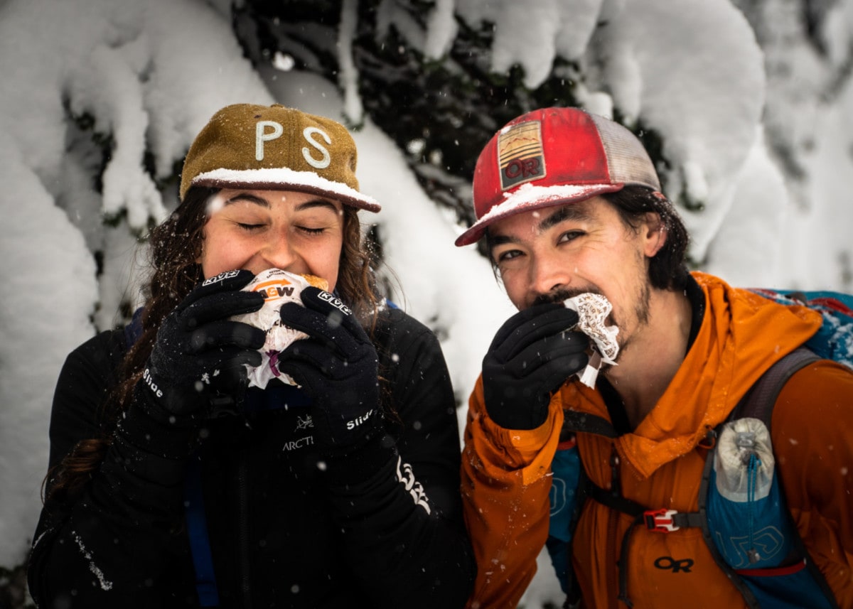
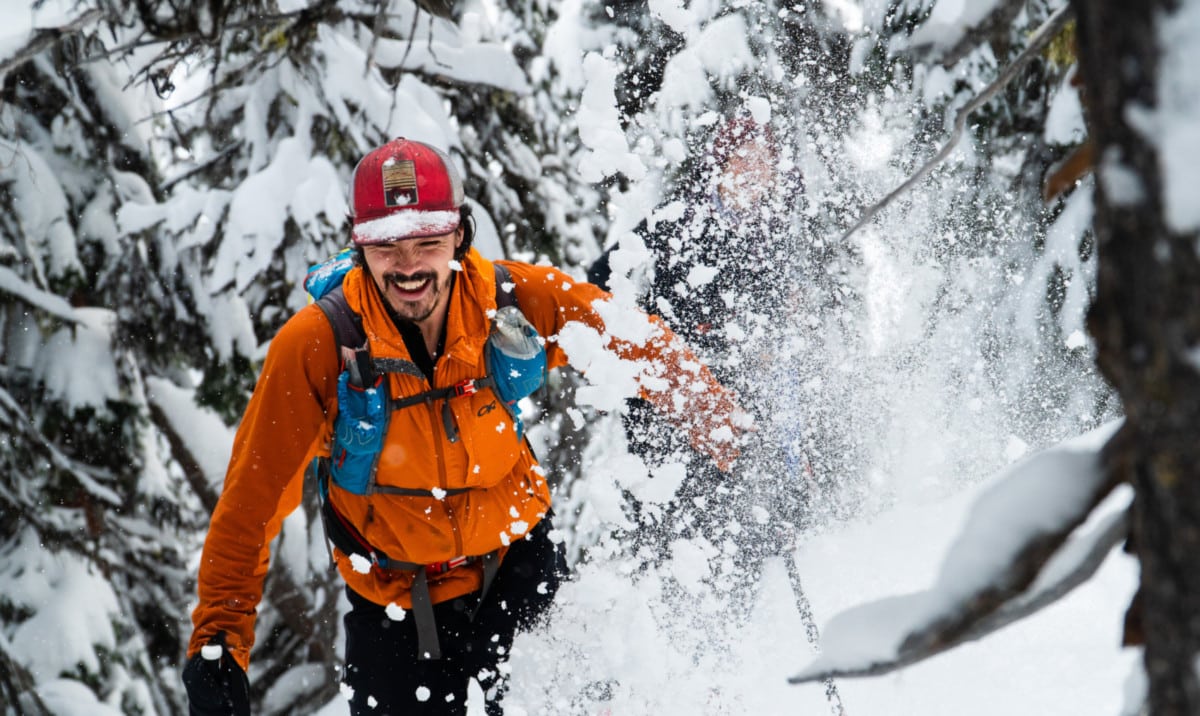
We assembled a super crew made up of Kaitlin, Rigel, Steph, Mia 1, and Mia 2 – they can fight for who gets #1. A BIG group nonetheless! I don’t like heading out in large groups – progress is usually slow. This one was different. The vibe was as relaxed as it was enjoyable which made it a stellar opportunity for me to pass on some avalanche knowledge. Once everyone was geared up, we raced up the Connaught Valley uptrack, a busy artery for ski tourers. We veered right, off the Balu Pass summer trail, only 1km from the parking lot, and crossed a stunning footbridge covered in a thick white blanket.
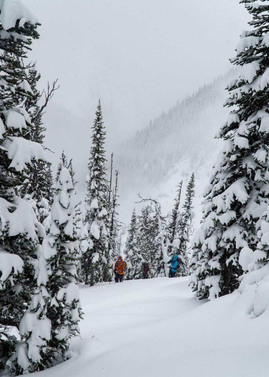
Our path followed the winter trail – you guessed it – only accessible in winter. I’ve done it in spring and do not recommend it… unless you love brutal alders and raging stream crossings. Instead of traversing the northern bank of the Connaught Creek all the way to the Grizzly Slidepath, which is covered in alder patches at this time of the year, we immediately began the ascent up the Grizzly Shoulder on which Rogers Run lies.
Our reality was becoming more evident the higher we went. The calendar said November 20, 2020, but the snowpack said December. DEEP, it was. Naturally, the treeline and alpine avalanche hazard levels were forecasted at “considerable” for the day, warning backcountry skiers of problems typical of the early season snowpack (rain, melt-freeze, and solar crusts) along with widespread wind slabs.
Having said that, we cautiously followed a million switchbacks up the Grizzly Shoulder, now covered by 10cm of fresh snow. Along the way, I performed a few hand shear tests and jumped on suspect convexities as a quick and dirty way to test snowpack stability. Surprisingly, I didn’t observe any signs of instability. This is always more worrying than seeing sings and knowing where the problem lies.
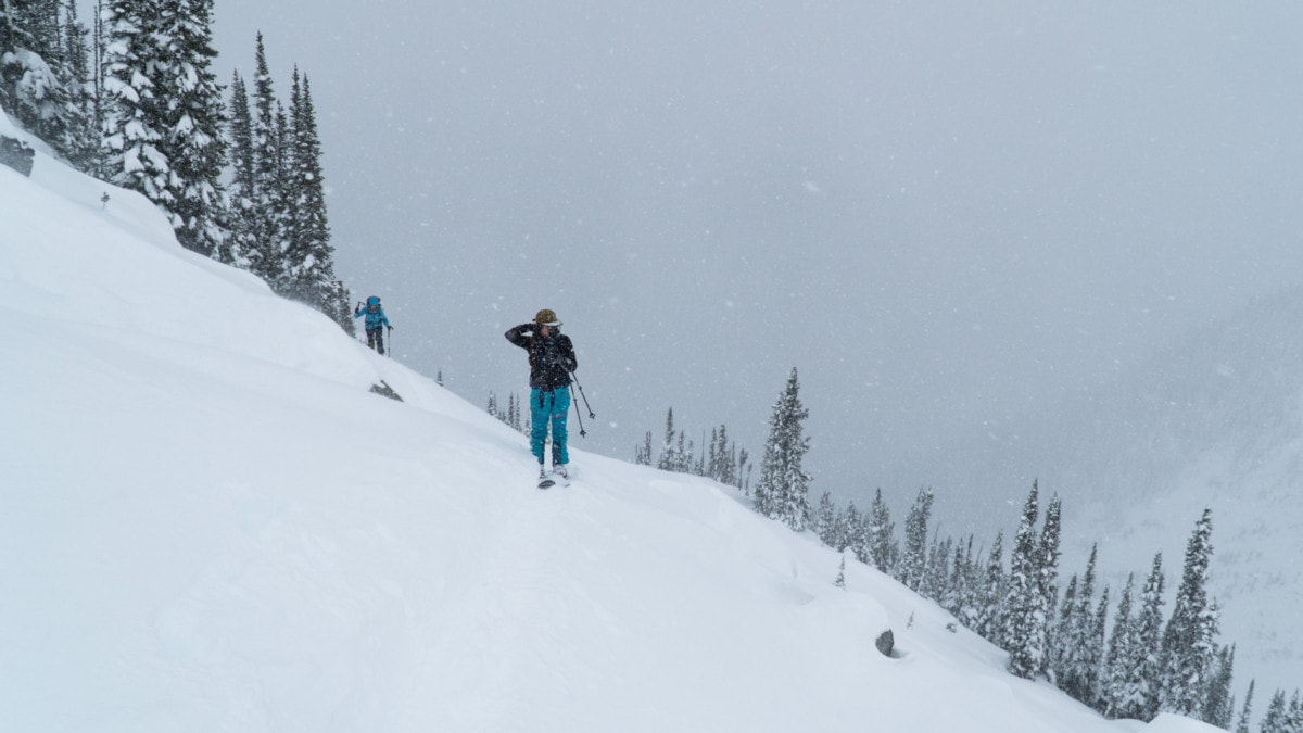
As we emerged out of the forest into the alpine, the flurries of snow went horizontal. Winds were absolutely howling. While we bundled up, I took a moment to scrutinize the terrain ahead. All I could think of was wind slabs. I noticed the exposed SW-facing slope we were about to cross was being swept clean by the winds. I felt a sense of relief as this meant the nearby snowpack would be thin. Big avalanches were no longer a concern. I felt the snow’s surface along the way, probing for stiff slabs. The surface was surprisingly well-preserved, soft even. I triggered a few localized pockets here and there, lee of wind lips around scattered boulders. It wasn’t enough to sound the alarm.
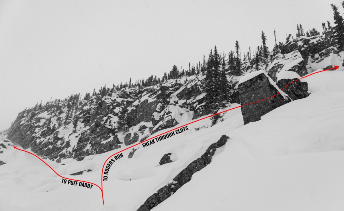
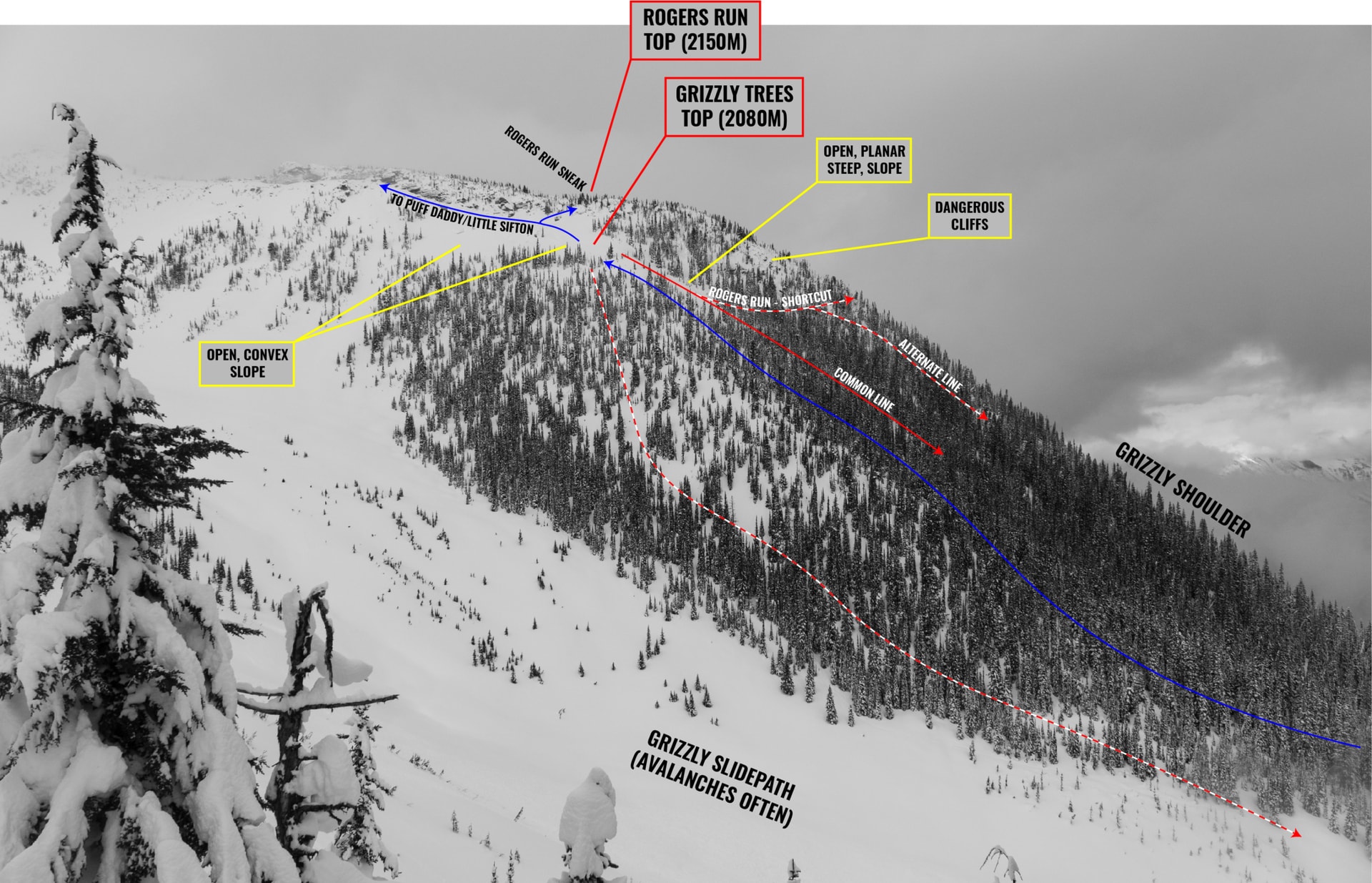
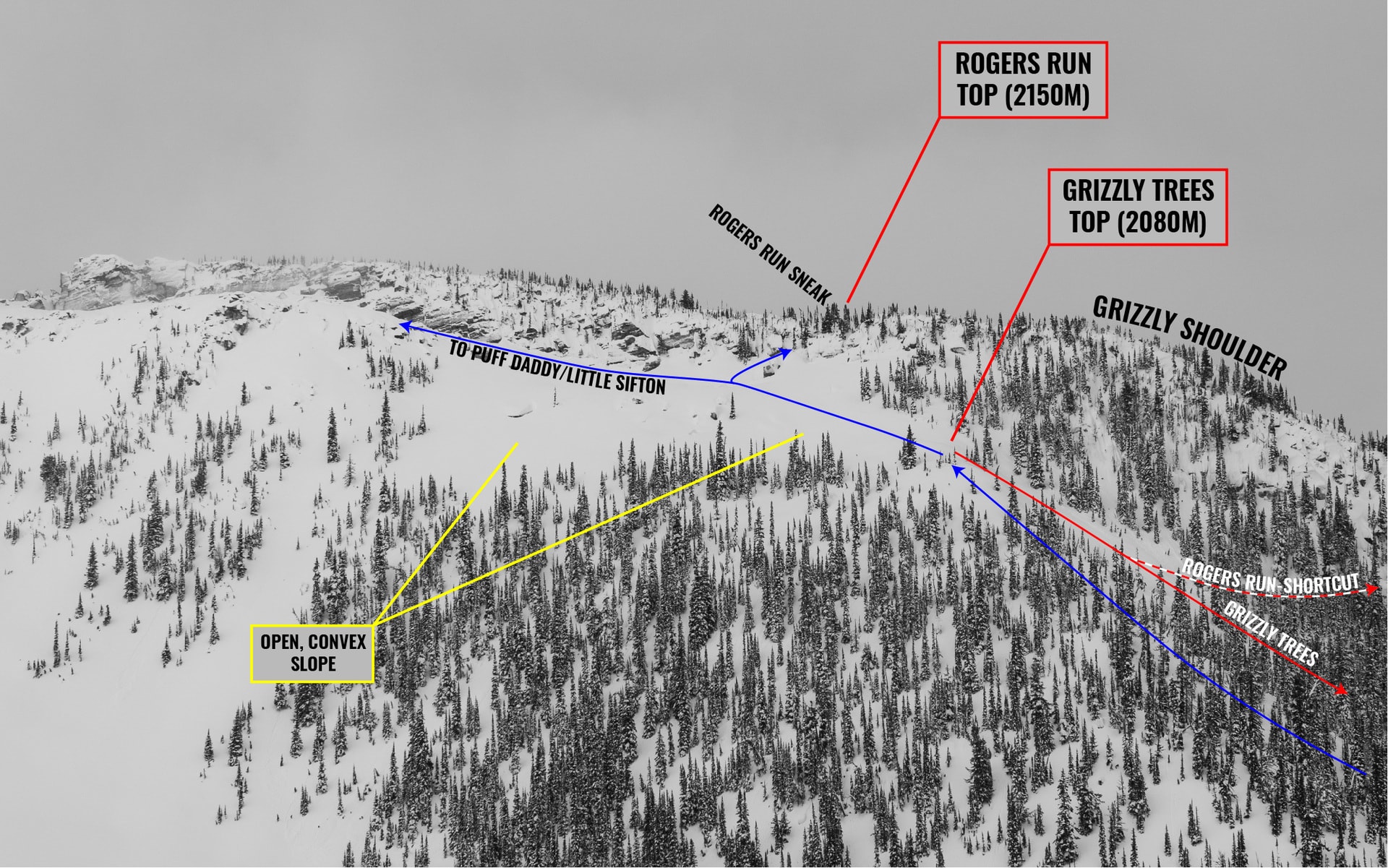
As we gained flatter terrain, I knew we were close. I was looking for a “sneak” through the band of cliffs, looker’s right, that I used last season when skiing a variation of Rogers Run into Grizzly Trees. Here it was, icy and steep as ever, nestled between the cliffs and a prominent boulder. It’s pretty easy to miss for the unacquainted. I slid up the “sneak”, squeezing as much traction as I could out of my climbing skins. I managed, knowing very well the rest of the crew might have trouble. They did.
Related: How To Choose Climbing Skins For Ski Touring
We regrouped at the top of the grizzly Shoulder, conveniently at the entrance of Rogers Run, on a gentle alpine slope rolling over into treed terrain. Positioned lee of the prevailing SW winds, we dug a full snow profile to access the snowpack’s stability, especially around the new storm snow and a buried 10cm rain crust. Our series of tests highlighted weak layers across the entire snowpack and evaluated their relative strength. We confirmed one key fact: the storm snow lacked slab properties. Without a slab, there’s no slab avalanche possible. Those are the ones to look out for. Satisfied by our results, we transitioned for the descent. And it was DEEP, so so deep.
Storm Snow Fact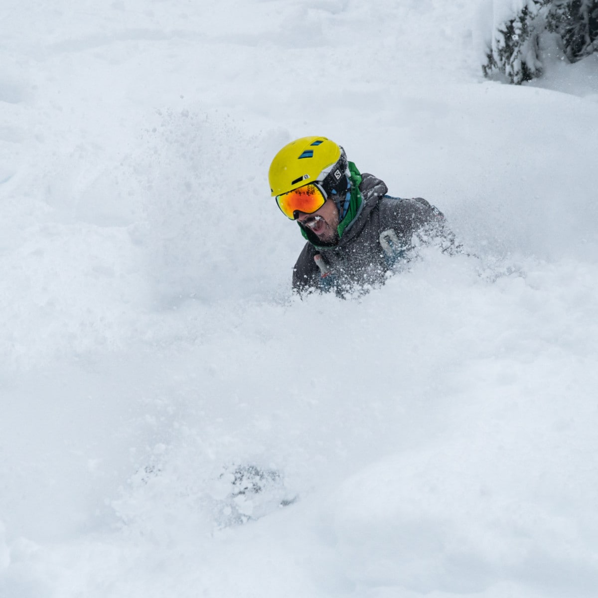
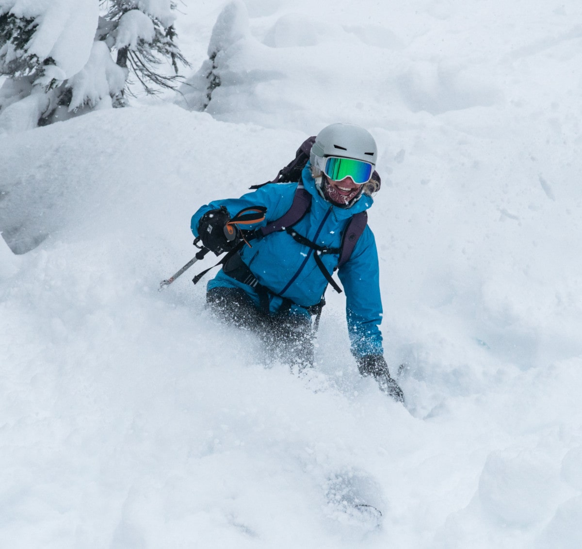
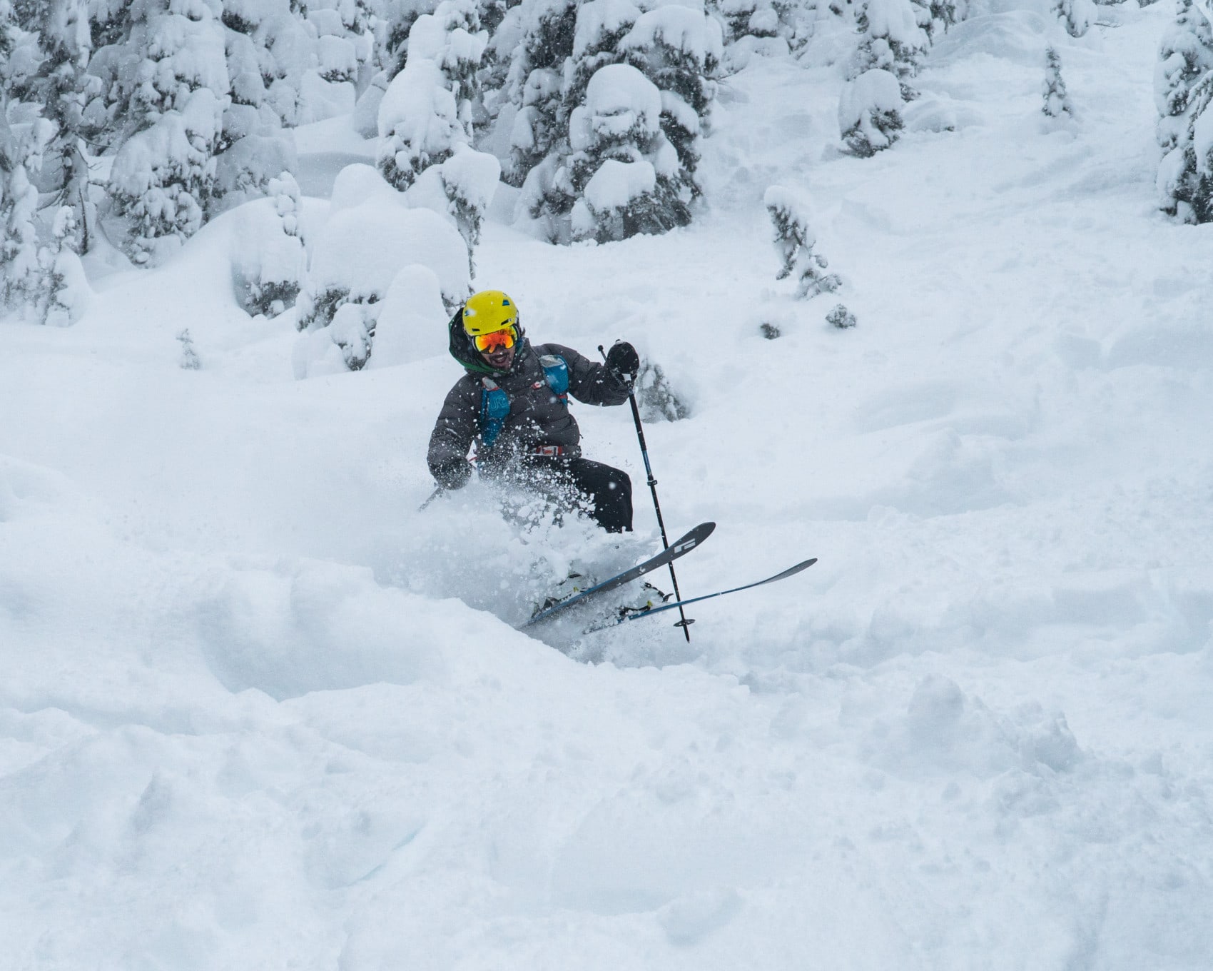
With a nice consolidated base and top 60cm of powder, we trampolined down the slope, bouncing up and down, in and out of the white room. Truly amazing ski conditions but I didn’t expect less of Rogers Pass, really! Our excitement led us slightly off route, east of the Grizzly Shoulder, far too close to the large gully separating Rogers Run from Puff Daddy.
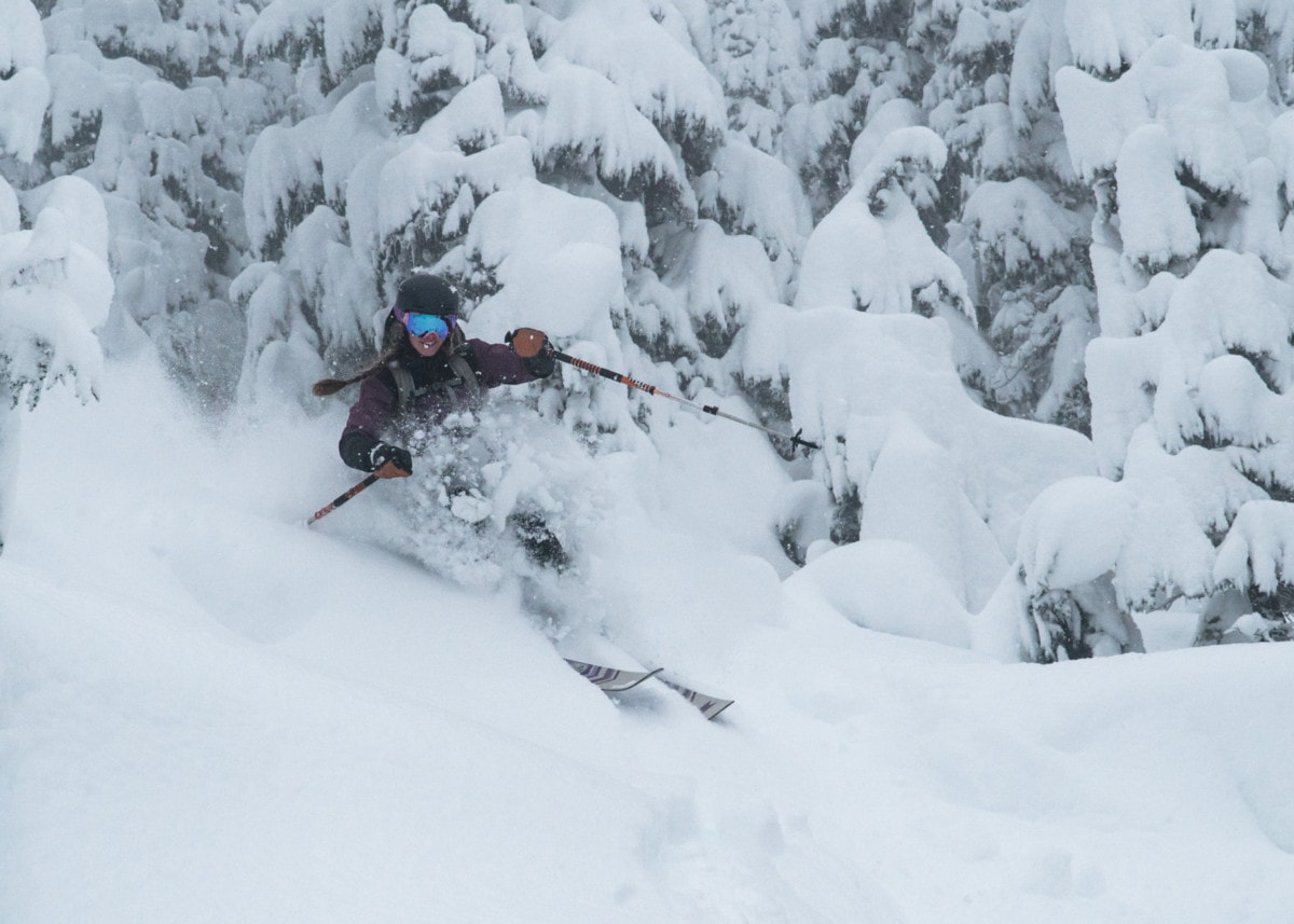
After consulting the beta from Geobackcountry, we traversed west on top of a wide band of pillows. I billy-goated my way down, guiding Kaitlin across the sketchy terrain. And then it happened. As she landed on a pillow I had previously tracked, it exploded into a puff of snow, pulling the rug under her feet. She tumbled down, through bushes and trees, landing near an unusually sharp tree trunk. This was a heck of a close call and a brutal reminder of the risk involved when backcountry skiing. Luckily, she only sustained a few bruises. She shrugged it off and kept on skiing without complaint.
We met up with the rest of the group who traversed above the pillow field, a detour that took a little less than an hour. Finally, we were back on the named route. This mishap goes to show how easy it is to get lost on the Grizzly Shoulder. Seriously, all the trees and clearings look the same! Keep your wits about and bring your guidebook or even a GPS. An awesome day can become a nightmare with one wrong turn in this kind of terrain.
Once we had gathered all the group, we continued the descent. We skied through pillow lines, cliffs, and a base that was shrinking way too fast. As the sun set behing the 8812 Peak, we reached the valley bottom, at which point we resorted to walking.
We bushwhacked through alders and fallen logs under our headlamp’s beam, only to end up on the wrong side of a wide creek following the Trans-Canada Highway. We skirted the river bank until we found a spot to cross. Finally, we were back at our vehicle. Never a dull moment ski touring in Rogers Pass!
Statistics
| Peak Elevation | 2150m |
| Vertical Gain/Loss | 850m |
| Distance Traveled | 4.6km |
| Duration | Far too long |
For more beta on my adventures, check out the Route Map. This online map interface is a repository of my ski touring and mountaineering adventures. Simply follow the rough trace!
Related Articles
– Grizzly Couloir, Rogers Pass: 3-Day Couloir Marathon
– Grizzly Mountain Skiing: Slush Cup Through Alders
– How To Choose Ski Touring Bindings in 2020