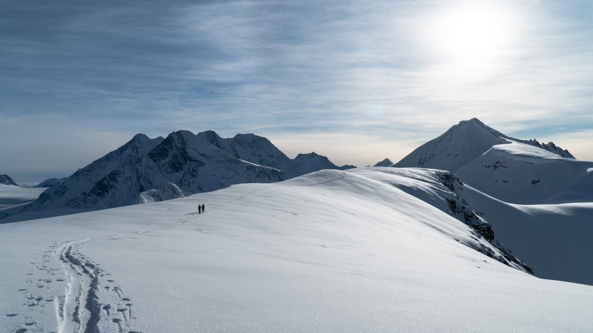
Knowing where to look for information is crucial to planning a ski tour at Rogers Pass (Glacier National Park). After all, those weather and avalanche forecasting tools will help you choose the right line for the day, the conditions and your crew. I use those tools almost every day throughout the winter to get a solid grasp of the overall seasonal weather and avalanche conditions, all supplemented by my observations in the field. I’ve outlined below most of the online tools I use when planning a ski tour at Rogers Pass.
You’ll find both a quick and more in-depth list of resources to get an update on the conditions within Glacier National Park. Some of those websites can be used across any region across Western Canada.
For terrain research:
FATMAP | 3D Satellite terrain imagery
Ski touring and mountaineering routes at Rogers Pass and Revelstoke
For a quick weather and avalanche overview:
Mountain Weather Forecast | Weather forecast summarized by meteorologists
SpotWX | 48hr Point Weather Forecast from the Canadian model
Avalanche Canada Forecast | Canadian avalanche bulletin
Parks Canada (Glacier) Winter Restricted Area Status
For some more insight:
- Rogers Pass Winter Permit System. For accessing restricted areas in Glacier National Park in the winter
- Fidelity telemetry data. For snow amounts and temperature over the last 24 hrs at treeline (1900m)
- Round Hill telemetry data. For wind speed/direction and temperature over the last 24 hrs in the alpine (2100m)
- Rogers Pass telemetry data. For all variables at Rogers Pass highway elevation (1305m)
- Rogers Pass webcams
- DriveBC road conditions
For Some Of The Best Lines In Rogers Pass:
- Rogers Pass Top Runs: Best Bang-For-Your-Buck
- Best Storm Skiing In Rogers Pass
- Best Couloir Skiing In Rogers Pass For All Skill Levels
In the near future, I’ll release a series of posts detailing how to use those online tools effectively when planning a ski tour at Rogers Pass. For a little more detail on a few of those resources, check out my intro post on How To Get Into Ski Touring. Some of the more in-depth resources require a deeper understanding of the atmospheric conditions and avalanche hazards. A recreational avalanche safety course (AST 1 & 2) is a great hands-on way to further your education in the matter.