It had been storming hard for the last few weeks. The alpine had been buried under a white blanket – more than 90cm of it. With a rather stable weather system on its way and mostly clear skies on forecast, we decided to head up Glacier Crest and ski its east bowl. The run would drop us into the north-facing slopes of Lookout Col and lead us through the Great Glacier Trail back to the Illecillewaet parking lot. With virtually no information about alpine conditions, we overwhelmed by all the unknowns. Was the buried rain crust reactive? Were the winds powerful enough to create dangerous wind slabs? Was our visibility holding for long? There’s only one way to find out.
Related: Afton Southeast Couloir, Rogers Pass: High Exposure

Report from November 22, 2020
We met up with our crew formed by Georges, Renaud, Jay, Kaitlin, and I – a big group with even bigger ambitions. After sorting out our gear and performing a standard transceiver check at the trailhead, we started the long stroll on the Meeting of The Waters Trail, where the Asulkan Brook empties out into the Illecillewaet River, both fed by glaciers. After crossing far more dog walkers than backcountry skiers or splitboarders, we veered left on the Asulkan Valley Trail, making sure to follow the correct sequence. A wrong turn there would take you up an entirely different valley.
As we crossed a narrow footbridge, my jaw-dropped. The Asulkan Brook was carving a path through giant white pillows while all we could hear was the soothing sound of water running past us. True serenity! I stood there taking in the Asulkan’s beauty while Jay was whacking away at the snow piling up on the bridge as if he was about to drop a sick line. What a curious soul!
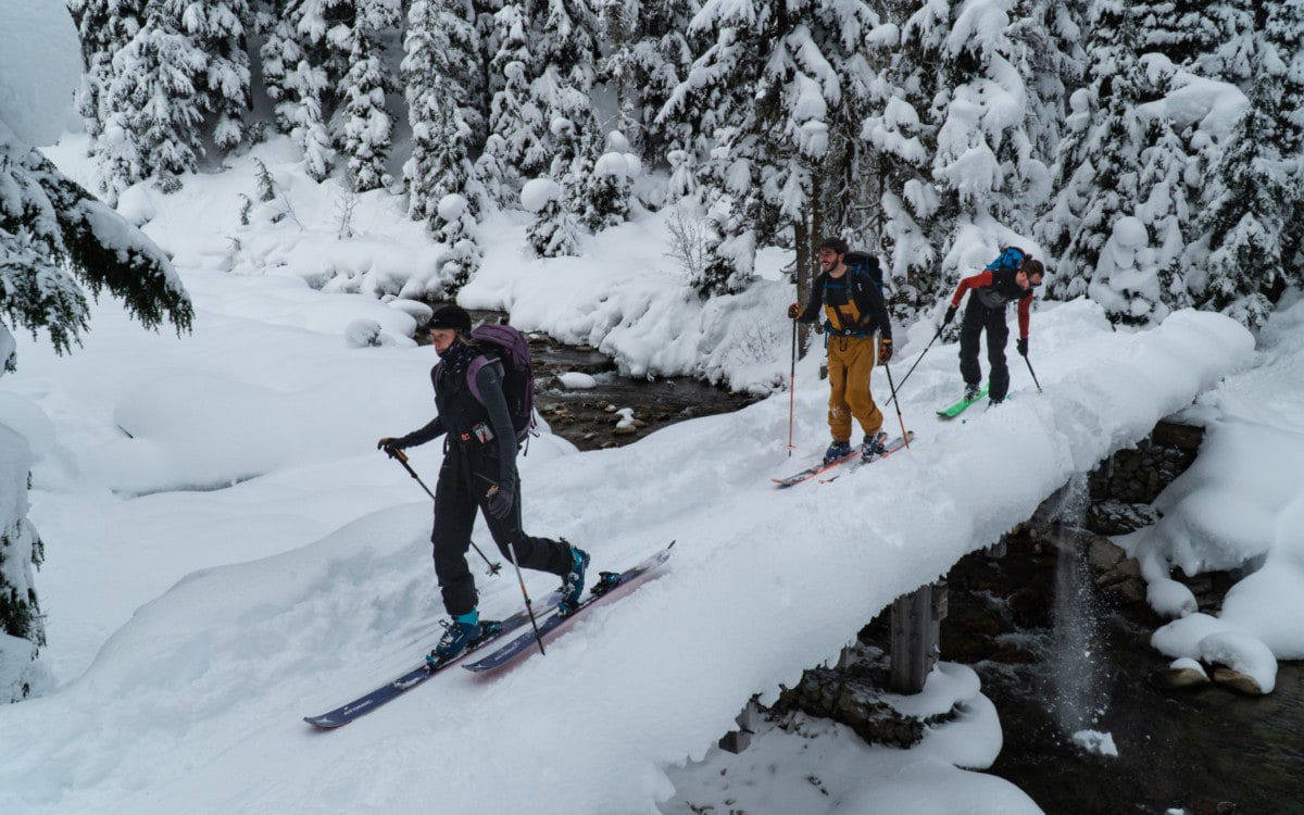
The reality of touring in the Asulkan is that the approach takes forever. It’s always a slog, in or out of this valley, since the trail follows the quasi-flat Asulkan Brook for more than 8km inland. Fortunately, Glacier Crest is much closer than the Asulkan Glacier. We veered left at the next fork, right after the footbridge 2.5km from the parking lot, to ascend the Glacier Crest Trail.
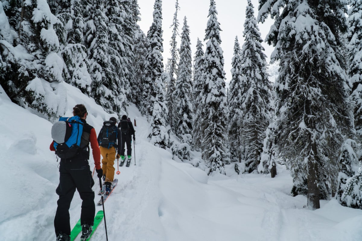
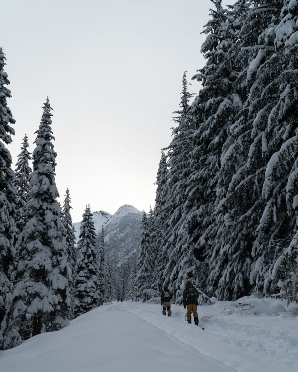
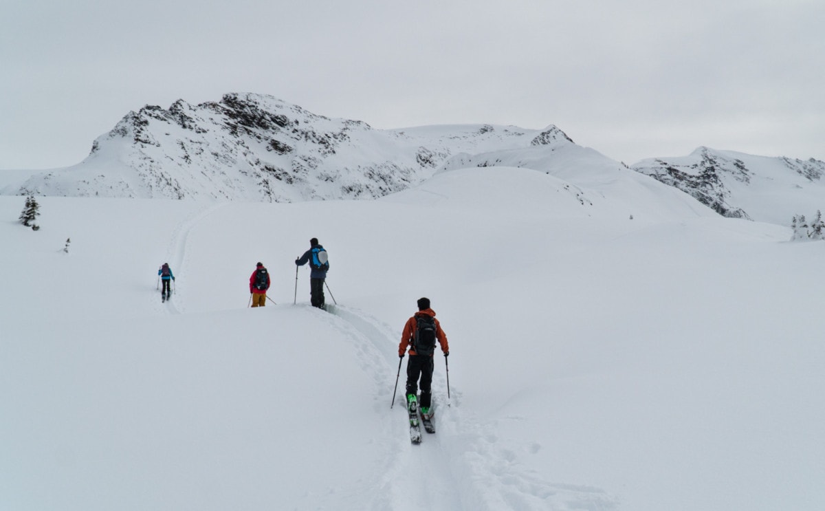
We followed the trail up the steep shoulder of Glacier Crest at a brisk pace. The summer trail had been cut into the treed slope at an easy grade, making it much more manageable ski touring. We glided effortlessly through the machine-made switchbacks all the way up to treeline elevation.
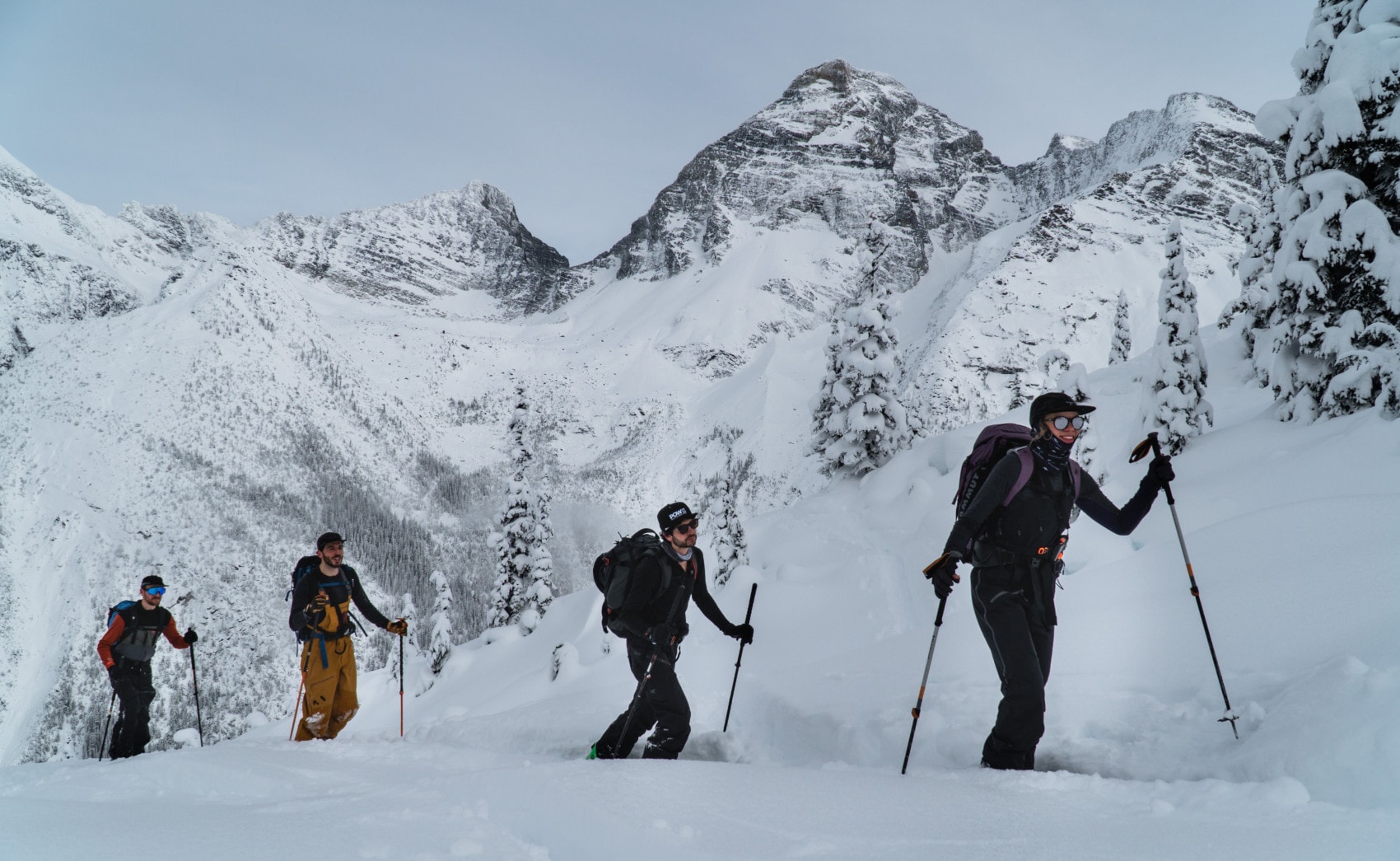
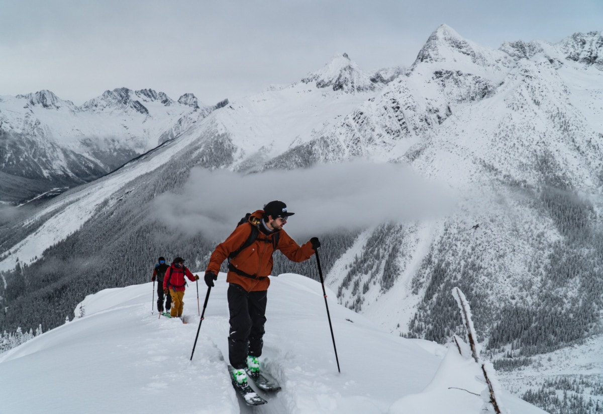
As we emerged out of the thick forest, the Sir Donald mountain range came into view. Woah! After having my head stuck in clouds for the last week, this was a sight for sore eyes. Treasured memories of summer mountaineering missions up Uto and Eagle Peak surged back through my mind.
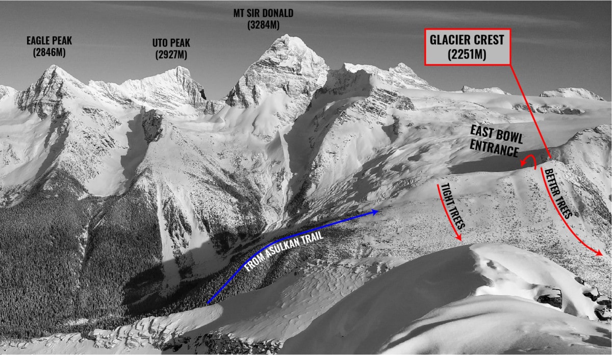
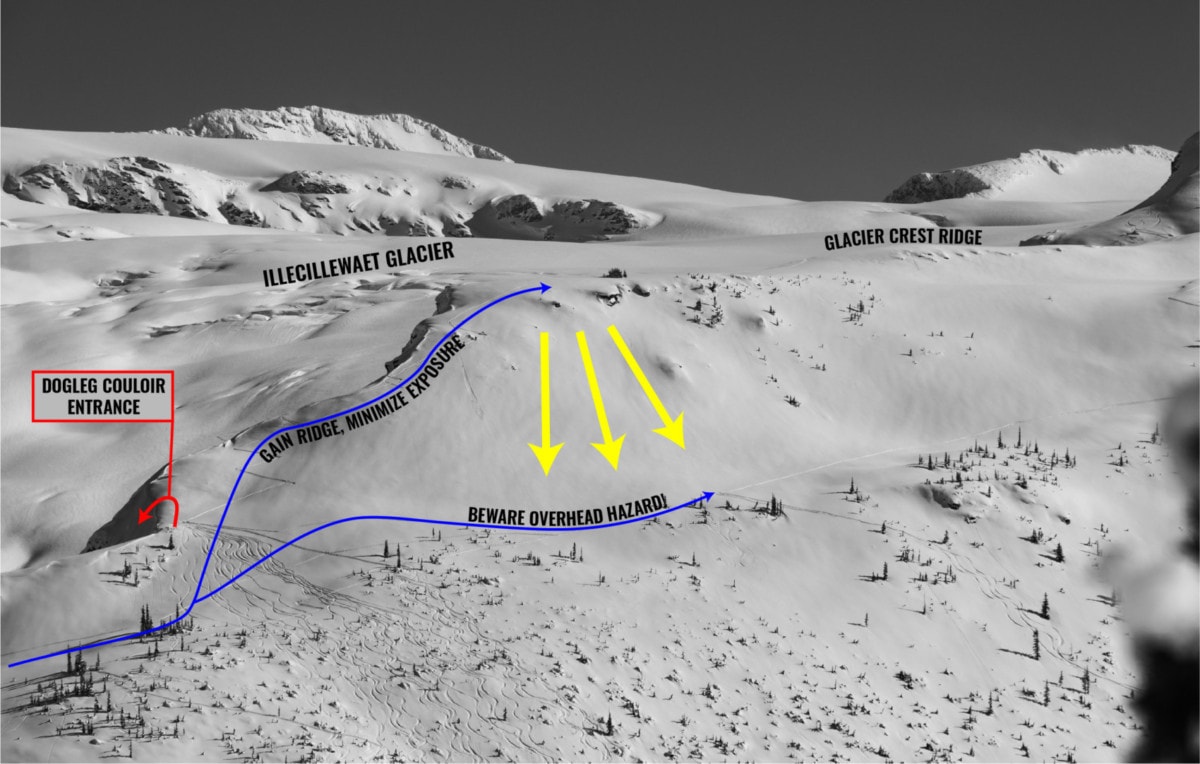
We set our crosshair on the Glacier Crest ridge running north to south, aiming to gain it as soon as possible. We opted to gain the high ground versus traveling on the gently sloping bench to the north: the latter was exposed to much overhead hazard from the narrow ridge. I’ve seen it many times before, where an avalanche would bury an uptrack placed on the bench.
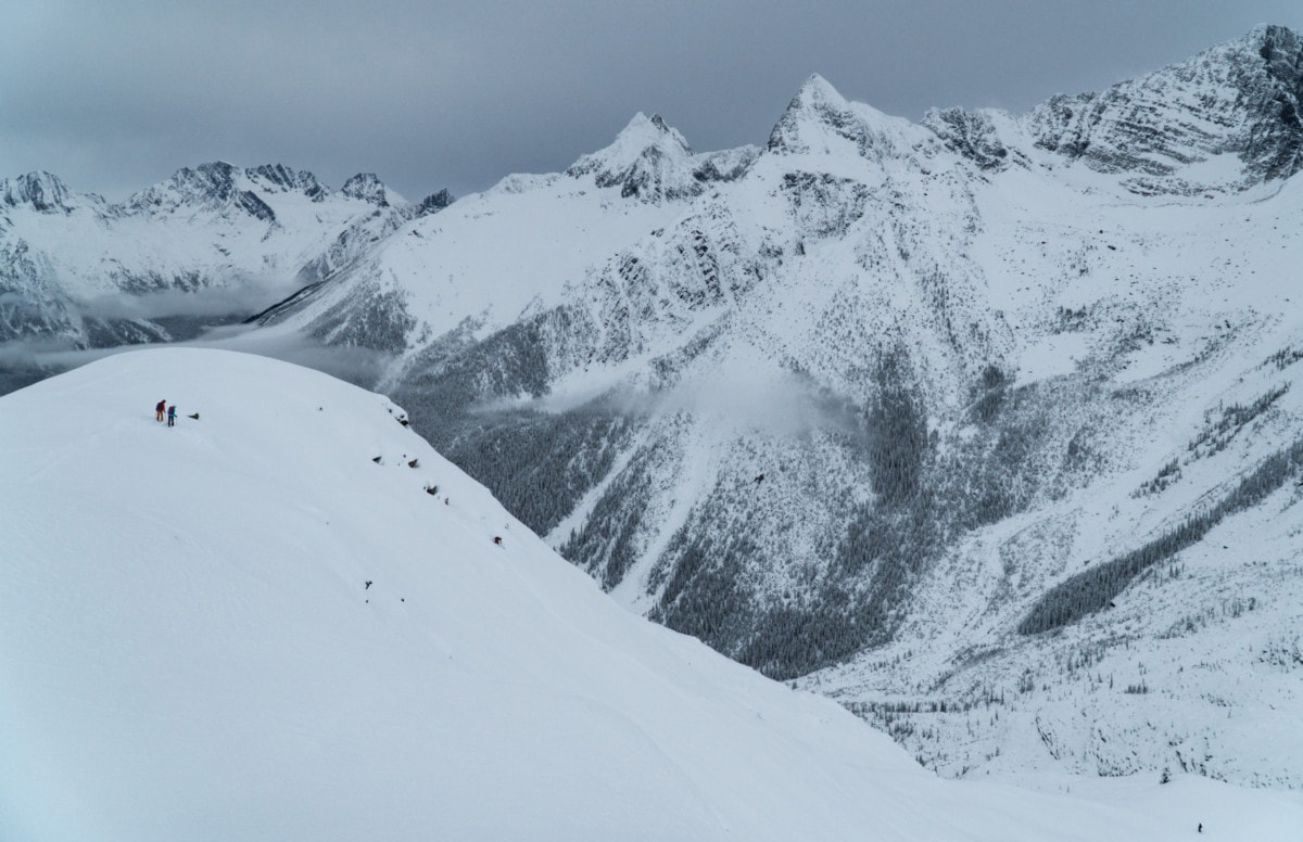
I looked back once we had gained the ridge. Behind us, I spotted the Rogers Massif just as the thin, lingering clouds parted and basked the range in a golden hue. How stunning! I could see the Swiss Couloir and the Rogers South Face, imposing features even at a distance.
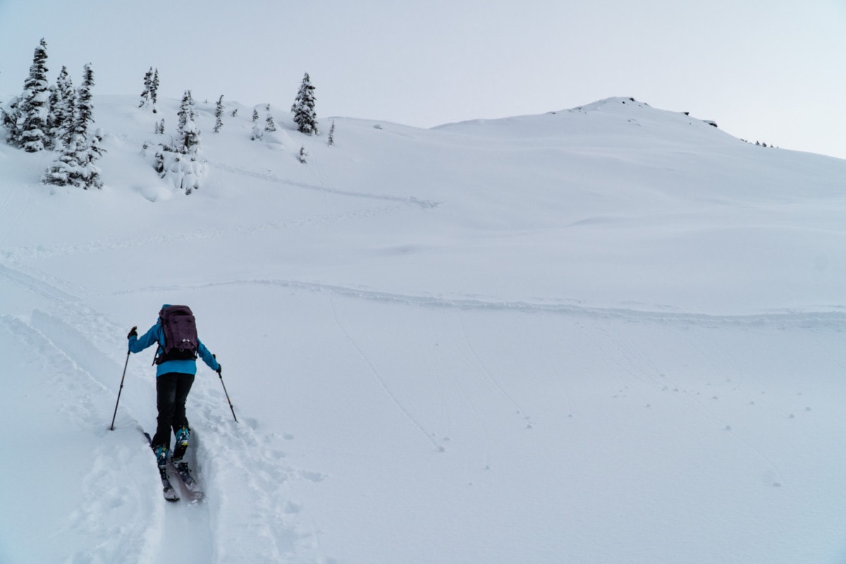
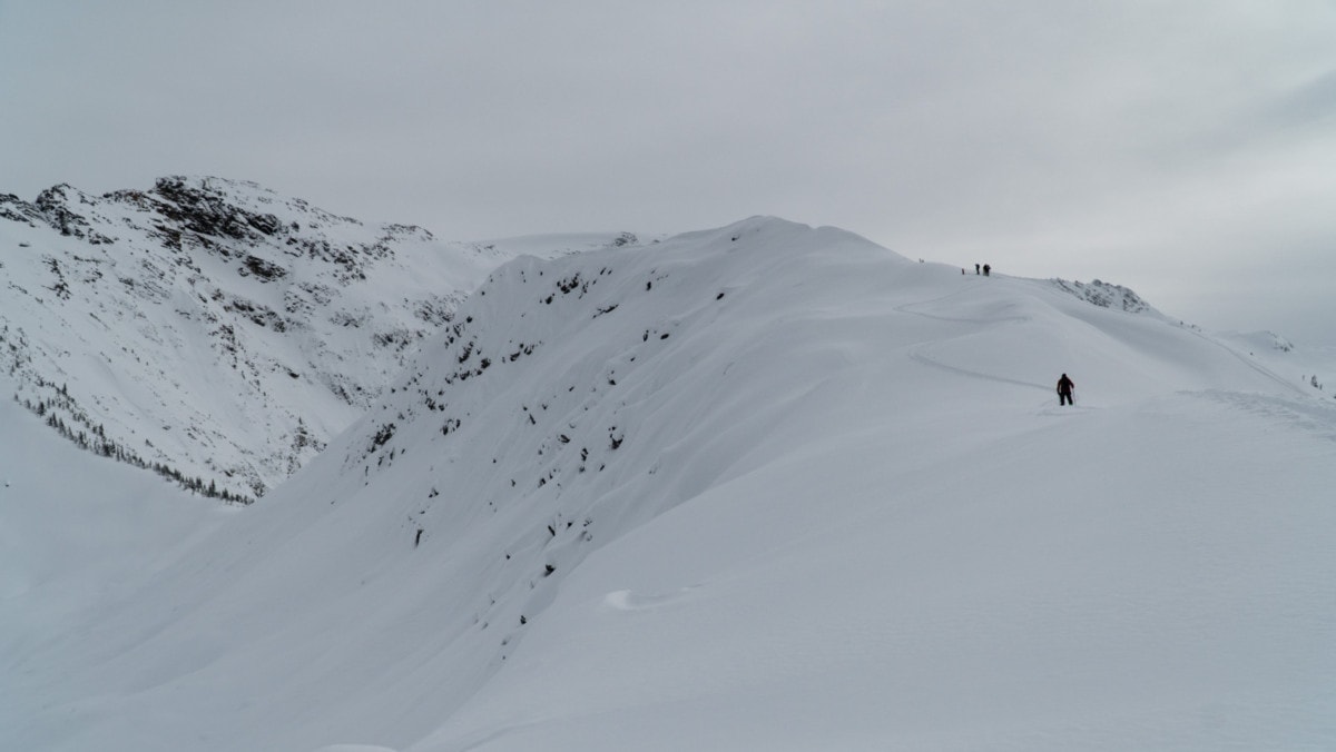
We moved along the elongated ridge until a short, narrow step stopped us in our track. With a sudden drop on my left and a questionable slope on my right, I felt rather exposed. We strapped our skis to our packs and booted up the section. Only then, could we see our final objective, the summit of Glacier Crest, only 500m away.
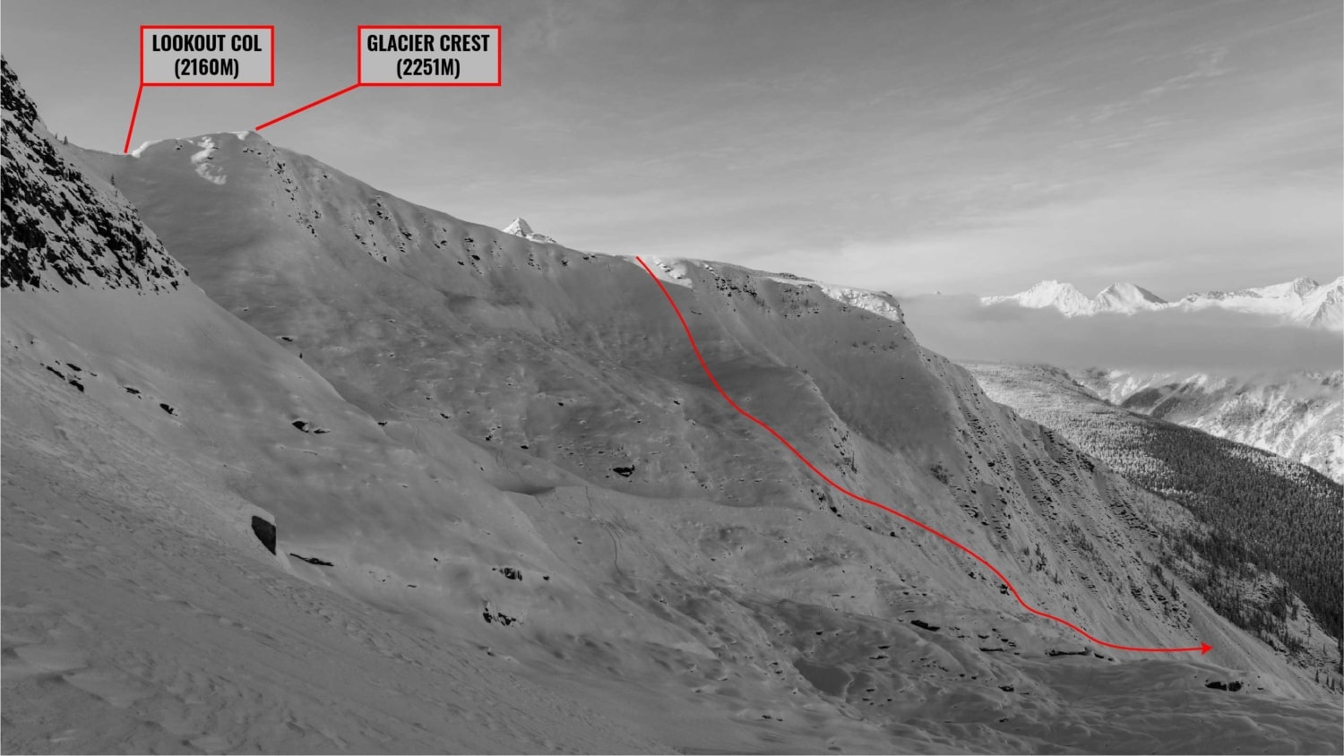
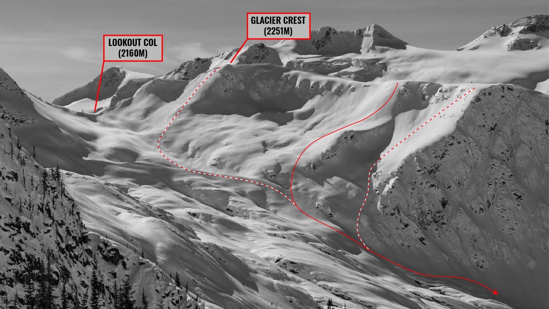
I attempted to scope out the terrain to my left, looking for the entrance to the east bowl as I hurried along the flattened ridge. After much back and forth between terrain photos and our current view, I located the entrance. A quick glance into the slope revealed our predicament. The east bowl of Glacier Crest is a high commitment line when considering the incline, the features, and the terrain traps below. It’s perched above cliffs and pillows that usually disappear under a deeper snowpack. While snowfall has been copious of late, it wasn’t what I would call “deep”. Peering further down the bowl, our line would take us through a long 35-degree planar slope overlooking those cliffs and topped by a rolling convexity, perfect for skiing and more than ideal for avalanches. We had one shot but we couldn’t mess it up.
With little to no information about the stability of the alpine snowpack in the Asulkan, we decided on digging a full snow profile on a similar east-facing slope, just lee of the summit. We performed compression, extended compression, and propagation saw tests to get a feel for what was lurking beneath the surface. Even with our optimistic results, we were cautious. A profile 2m away from where we dug might have completely different results. We debated whether to engage or not for 15 minutes but finally decided to do it as the clouds rolled in. Just our luck! No more visibility! Jay, a brave soul, volunteered for the uneventful ski-cut which also meant he got to drop first.
The skiing was incredible, except for the uber-flat light which made it impossible to read the terrain. Quite a dizzying endeavor. There was no way of knowing whether the slope went up or down, what veered left from right. Still, I’ll take some soft powder with a nice supportive base any day of the week.

The Glacier Crest East Bowl with our descent in late November with a shallow snowpack. Photo: Beyond Our Peak 
The Glacier Crest East Bowl in early spring with a deep snowpack. Photo: Beyond Our Peak
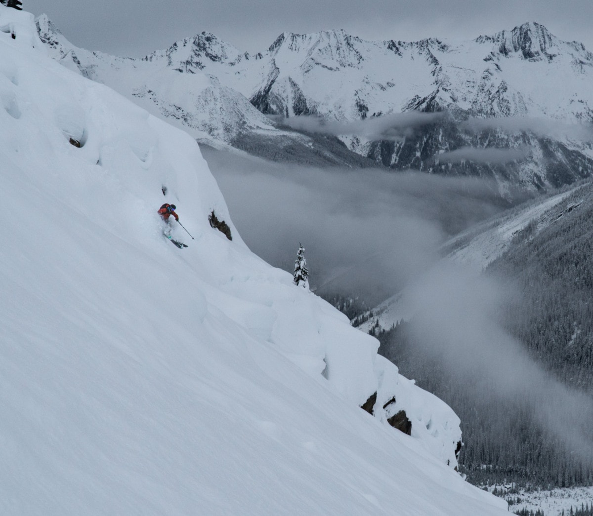
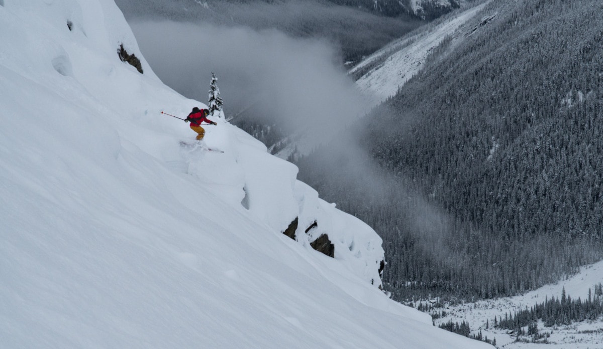
We pressed on, almost blind, through the complex terrain, billy-goating our way down a giant pillow field. The visibility didn`t stop our party from tricking off some fluffy pillows. So much fun!
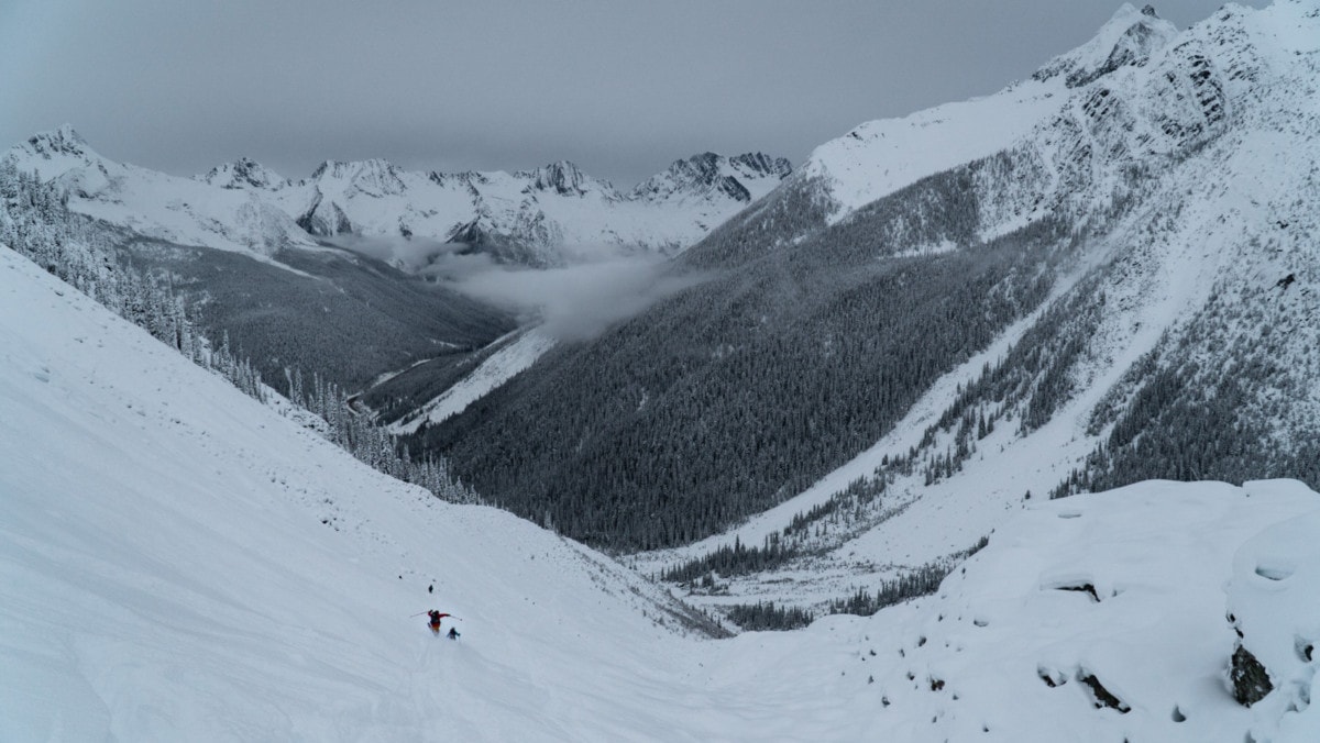
We then followed the valley bottom along the Great Glacier Trail, an icy bobsleigh track in the winter, perfect for an exit. With a little patience, Kaitlin, Jay, and I made it back safe and sound to the Illecillewaet parking lot. It took Georges and Renaud 15 minutes to join us after they took the “freeride” route involving a creek bed and brutal alders. I was exhilarated once I realized this was my 2020 season’s first true alpine high.
Statistics
| Peak Elevation | 2251m |
| Vertical Gain/Loss | 1050m |
| Distance Traveled | 10km |
| Duration | 5h |
For more beta on my adventures, check out the Route Map. This online map interface is a repository of my ski touring and mountaineering adventures. Simply follow the rough trace!