Author, publisher, and now cartographer, Douglas Sproul is the mastermind without a filter behind the best-selling ski touring guidebook, Rogers Pass: Uptracks, Bootpacks & Bushwhacks, as well as the associated map. Publishing his first book and map was a mere beginning to the winding path that took him through the rugged Selkirk Mountains. He spent the last four years exploring the remote boundaries of Glacier National Park, otherwise known as Rogers Pass. The result: the 2nd edition of his famed map featuring additional routes, expanded terrain, and essential local beta.
He is currently funding the printing of the latest iteration through the Kickstarter crowdfunding platform. Consider contributing to the culmination of more than two decades of passionate work.
Why am I writing this article?
I truly understood the scope of Douglas’ work once I started ski touring in Rogers Pass on the daily. Take a look at my latest article to get insight into what this ski-mountaineering mecca is all about.

I needed to know more about this spirited Revelstoke legend if I were to invest in his next endeavor. I contacted him out of the blue to set up a call. Our planned 30-minute phone interview transformed into a 2-hour conversation taking the winding road through the history of ski touring in Revelstoke and Rogers Pass. After all, this is bound to happen when two passionate backcountry skiers meet without time constraints. You will find below the gist of our interesting back-and-forth.
Who is Douglas Sproul?
Some people call him Colorado Doug. Well, that’s not entirely true. It’s actually Boston Doug. Born in the state of Massachusetts, Douglas started skiing at the age of 2. This was the golden age of East coast skiing when the hills had bountiful snow. With high school out of the way, he moved to Colorado, chasing the real mountains. If 10 years of skiing champagne powder wasn’t enough for young Douglas, I wonder what was. After hearing of Canadian extreme skiing, he packed his bags and headed for Whistler. He comically mentions:
Mike Wiegele, Whistler, Banff. In the early 1990, that’s all we knew of Canada.
A day later, he quickly got tired of the Whistler “buzz”, finding too many similarities with his Colorado ski resort he sought to escape. Running away from the coast was one of the many turning points in his life, the commencement of his spiritual journey via ski touring, climbing and mountaineering. Through a shady exchange of illicit substances, he heard of Banff, the centerstage of the Canadian Rockies. He loaded up a beat-up car and headed East.

While burning the midnight oil, he stumbled across Revelstoke, specifically the 12-mile road leading to the Akokolex Valley, unbeknownst to him. The next morning, he woke up to the stunning views of two giants, Mt Begbie next to Mt Macpherson. He said:
We met Hank [a Revelstoke local]. He asked us if we liked skiing. He pointed at the Monashees and said: “It snows 50 feet up there”.
Douglas has been living in British Columbia for the last 26 years, bouncing between Golden, Nelson and now Revelstoke. He now inspires others through his technical writing and map-making the way Hank inspired him.
How did Douglas Sproul get into books and maps?
His honest-to-god answer: “I just wanted to hang something on my wall”. Such is the nature of Douglas Sproul. It seems like things just happen around him.

Maybe it’s the benefit of living his passion? After a decade of “research” (exploring Rogers Pass on skis), he first published a pdf guide: Rogers Pass North. He claims 150 people bought his guide. The demand for a detailed guide was obviously there. He then released the first edition of the Rogers Pass: Uptracks, Bootpacks & Bushwhacks, followed by the topographic map, which he self-published to avoid giving away creative control over his art.

He continuously emphasizes that his work is ART. I totally understand with my current background. His motivations are pure: spread the joy of ski touring and instill life-changing, learning, experiences among others.
What’s involved in creating a detailed topo map?
26 years of back-breaking work. Thousand of hours spent tweaking routes, planning approaches, and cross-referencing images. Douglas Sproul considers every step of the way part of his very own spiritual journey. I love his carefree outlook on life, which I’m slowly embracing.

As for defined steps, here’s how it goes: research, academia, and many learning opportunities. The research is the hardest part. Douglas is adamant about writing his guide book based on firsthand experience. He mentioned after apologizing for the upcoming humblebrag:
I couldn’t see any other way! I skied every single route on the map (minus maybe half a dozen “modern” ones).
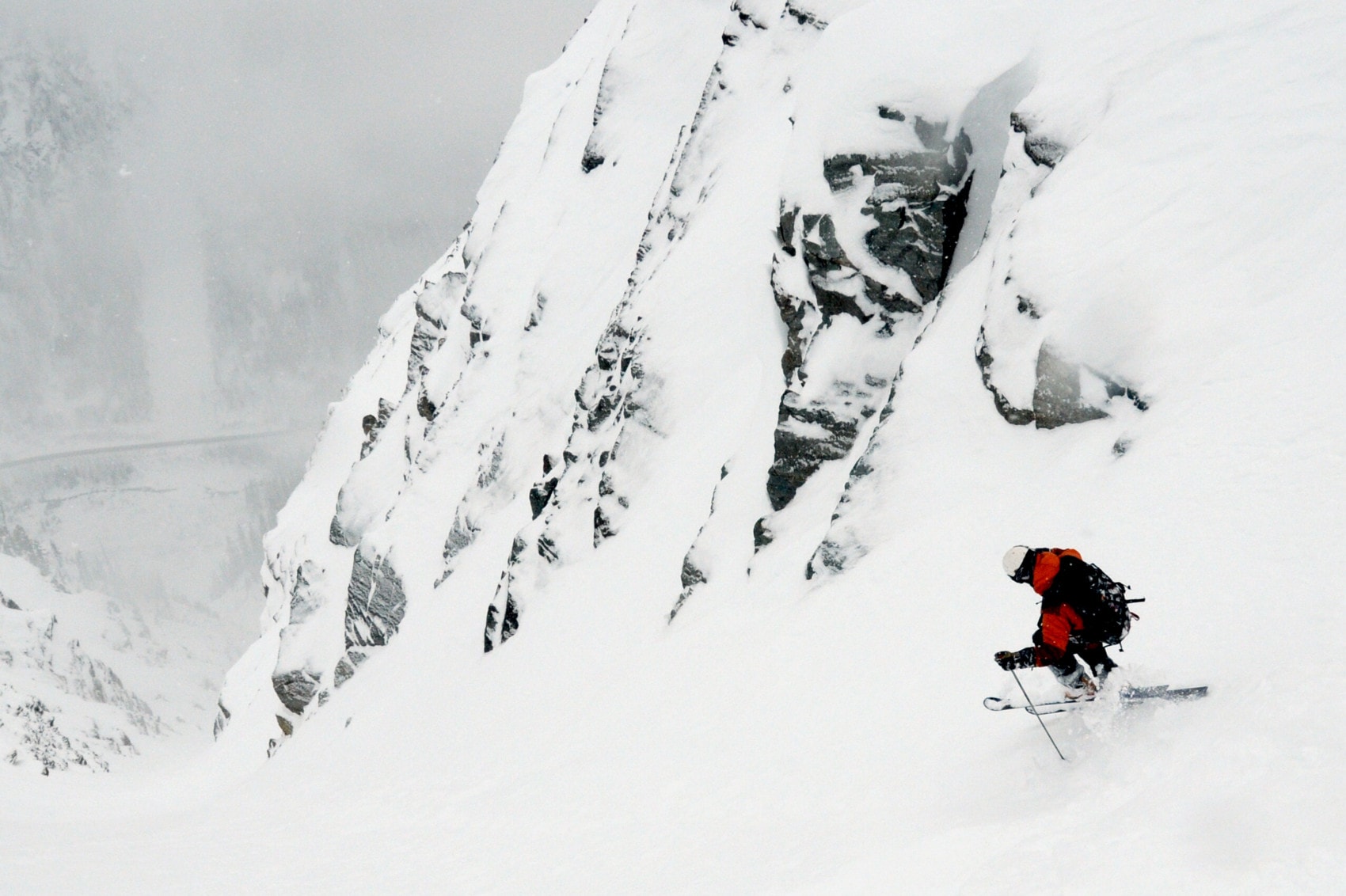
This is bat-shit insane. Here’s an example to help us understand the magnitude of work put into the project. Take the steep narrow confines of the Single Bench couloir, scarring Mt Tupper. First, he has to scope the line from across the valley. Second, he has to wait for the conditions to be just right as a mistake guarantees death. Third, it might take three attempts to complete the planned route. Now, rinse and repeat for all 150 (minus 6) lines on the new map. Creating a guide map in this fashion is a monstrous time-sink.

After the research, comes “academia”, he coins. It involves learning current mapping technologies, laying the foundations for self-publishing and orchestrating the final product with Parks Canada who manages the avalanche control operation within the highway corridor. All that would be easier if it wasn’t for the many mistakes made along the way.
What’s new?

Any plans for the future of GeoBackcountry?
Douglas is almost certain he will release a third iteration of the Rogers Pass guide book, this time divided into two volumes: Rogers Pass North and South. The split will reduce the size of the books, making it easier to fit in a backpack’s top pocket. It will also include enhanced image/route manipulation and improve upon the feedback of the ski touring community.

A Closing Note
All in all, I clearly have a thing for well thought out guide maps for they help me navigate the mountains safely and encourage me to further my ski-mountaineering journey. Most importantly, Douglas’ guide book is not a cash cow. I want to make that very clear. It is a passion project of the purest grade, a love letter for the mountains, as is Beyond Our Peak. Douglas and I share the same goal of inspiring others to seek the unknown while having a good ol’ time.
